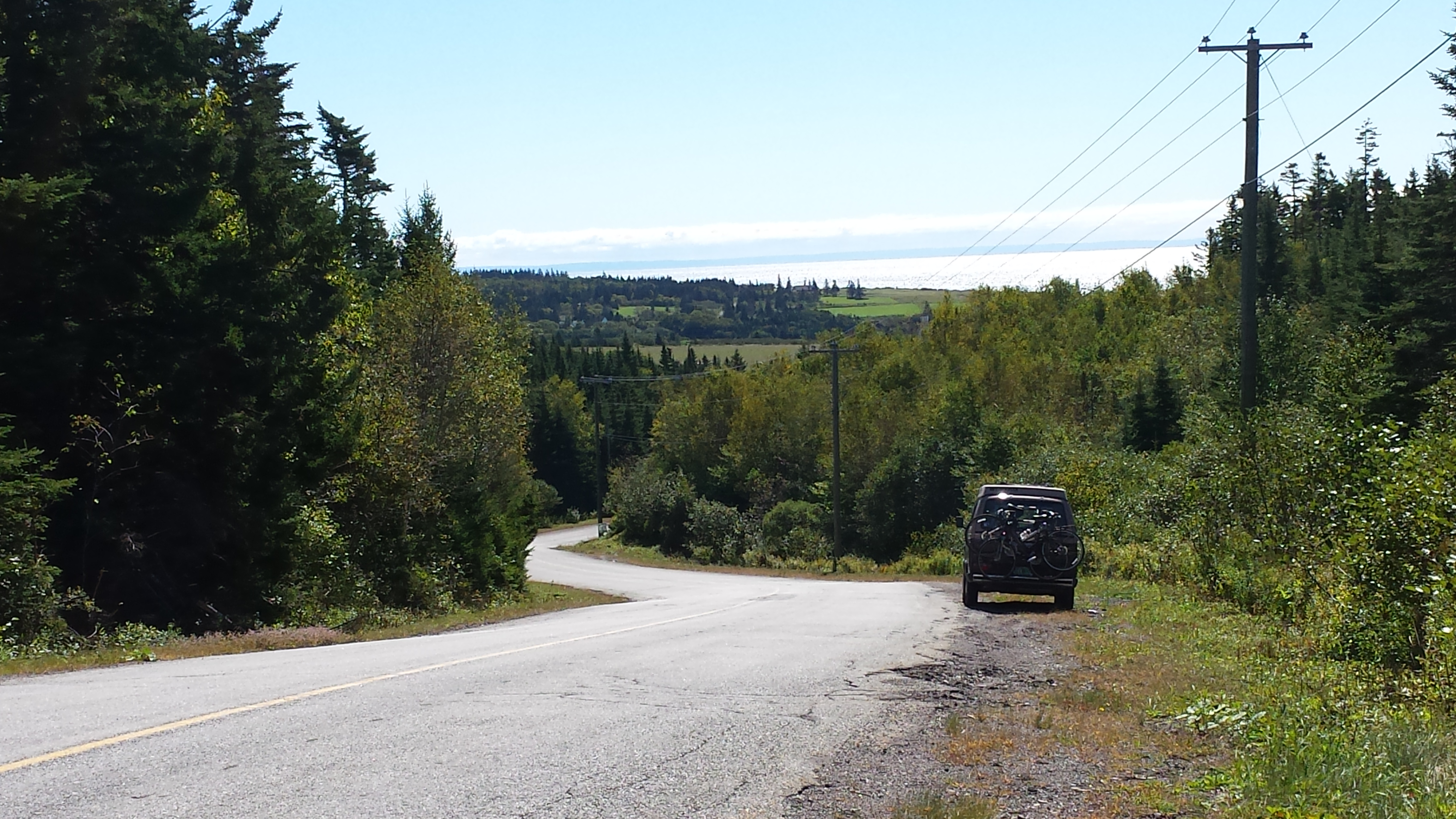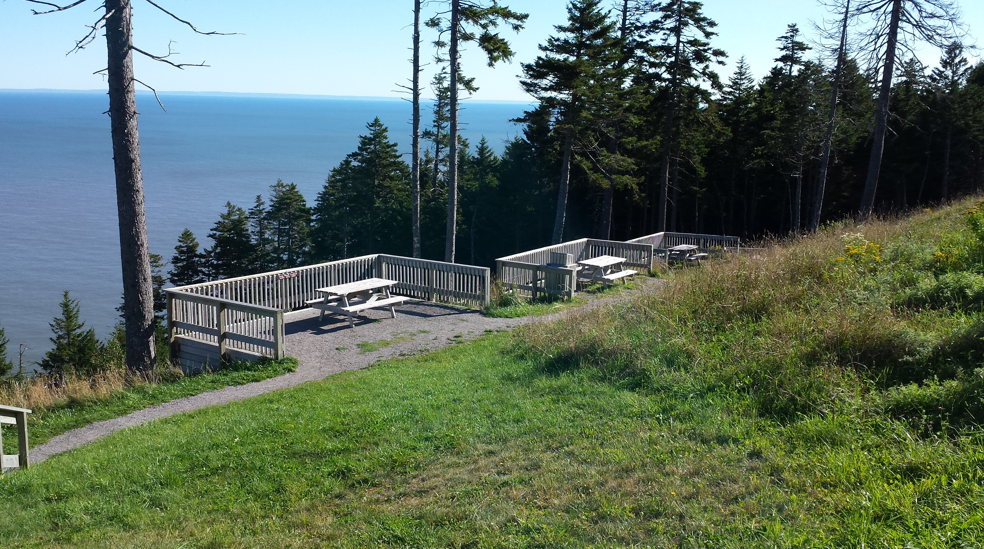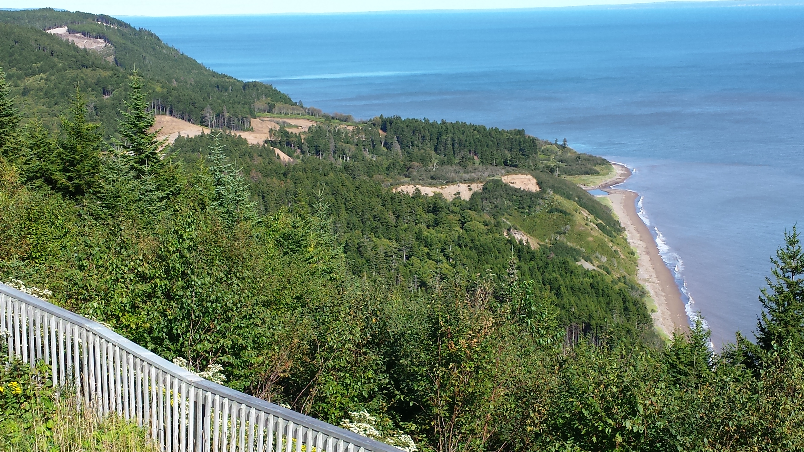
Continuing north, and at the end of a road that goes nowhere else, is Fundy National Park of Canada, where the Caledonia Highlands Plateau (the uppermost reaches of the Appalachian Mountains) meets the Bay of Fundy.
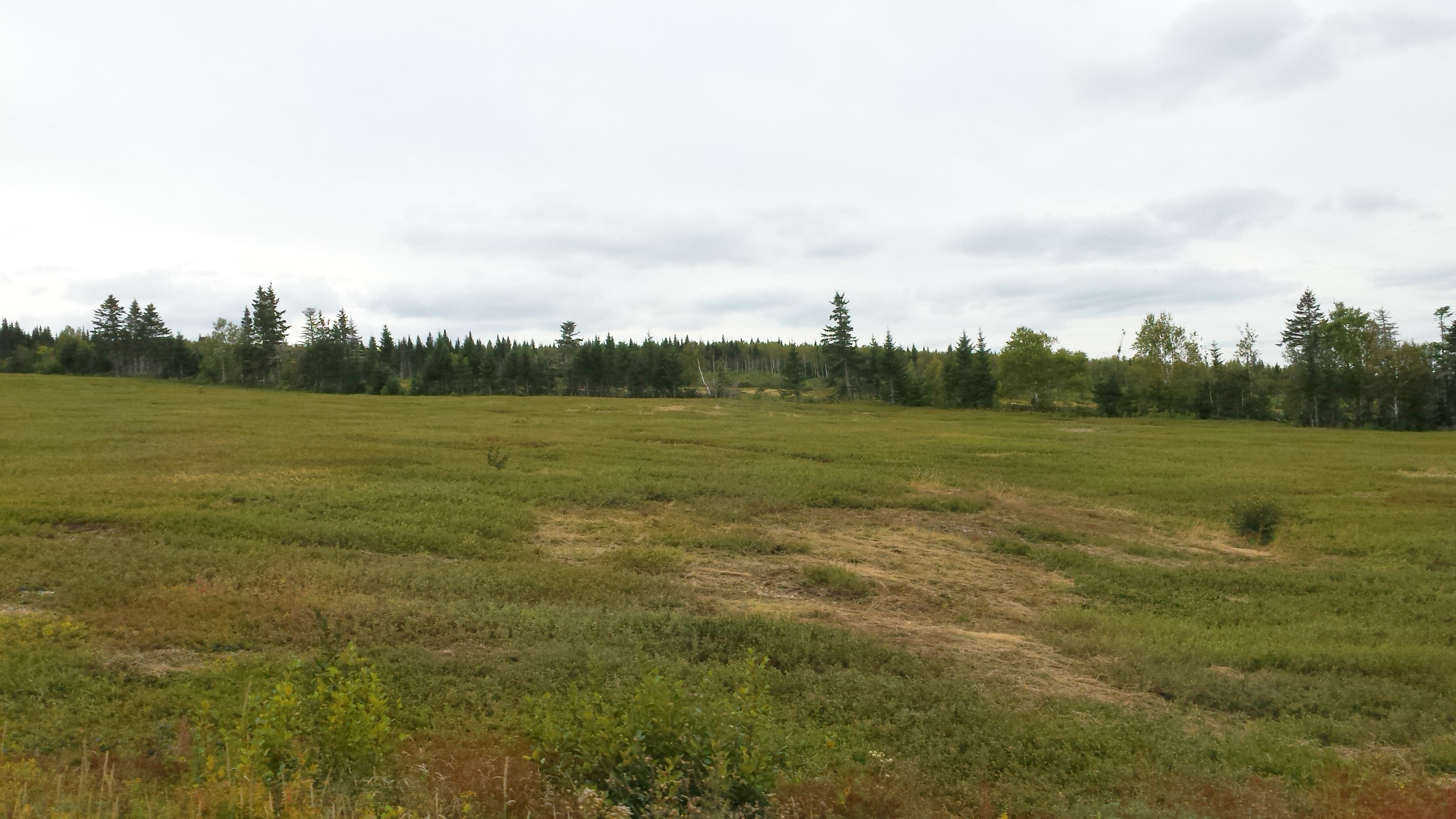
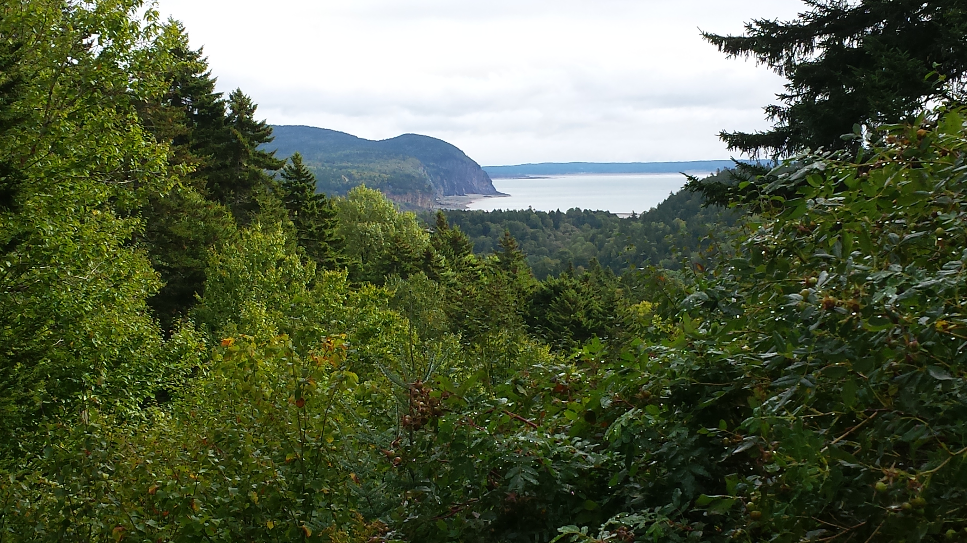 There are sloping, meadow-like highlands
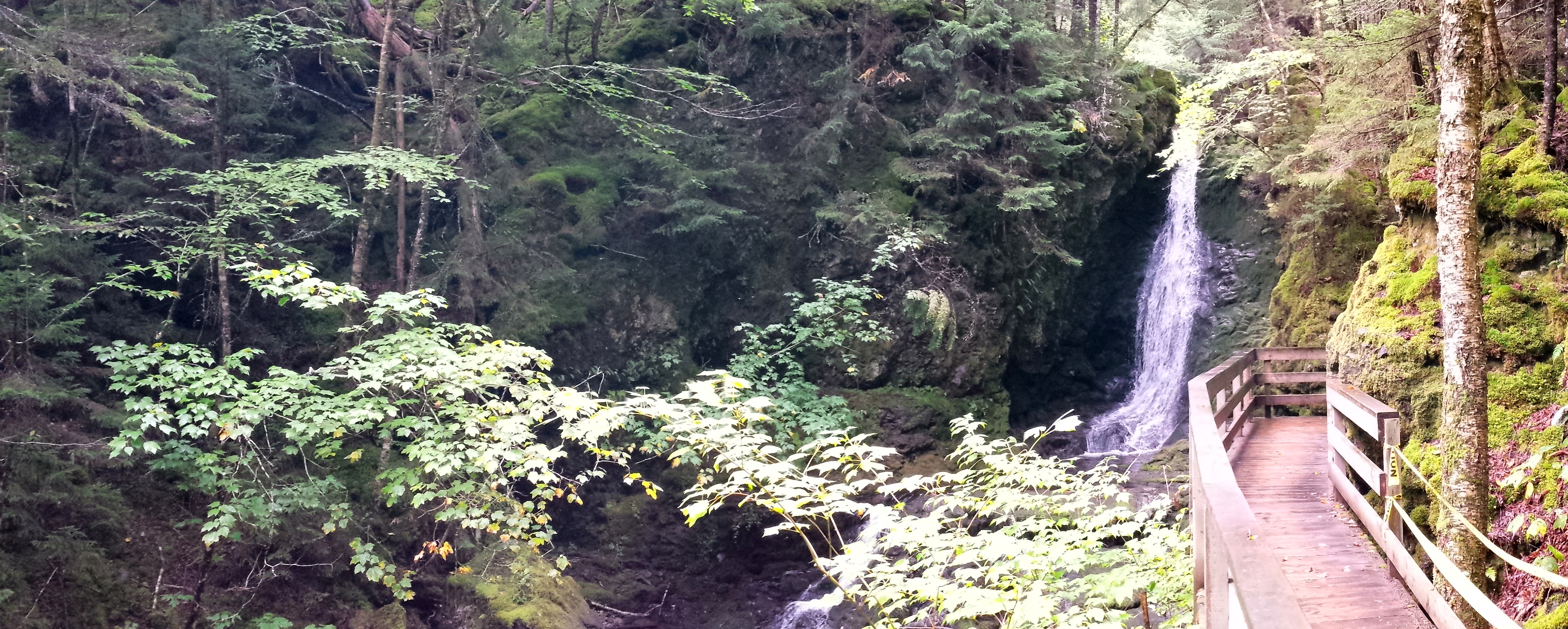
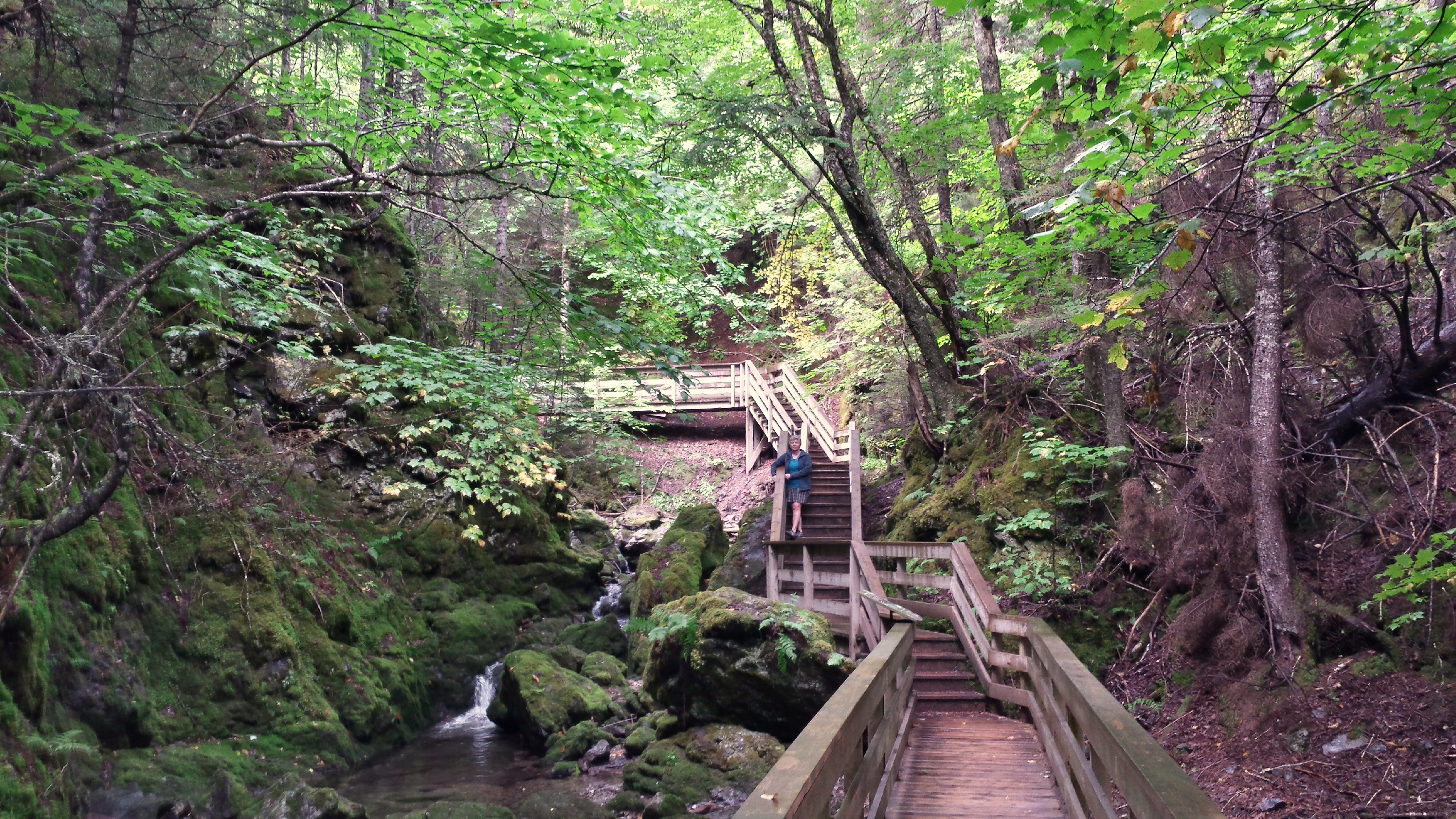
 and rainforest jungles (accessible by cantilevered board walkways and stairs – it strikes me that this spot is one of the most beautiful I’ve ever visited, as deep and rich and wet as anything I’ve seen in Washington state or British Columbia).
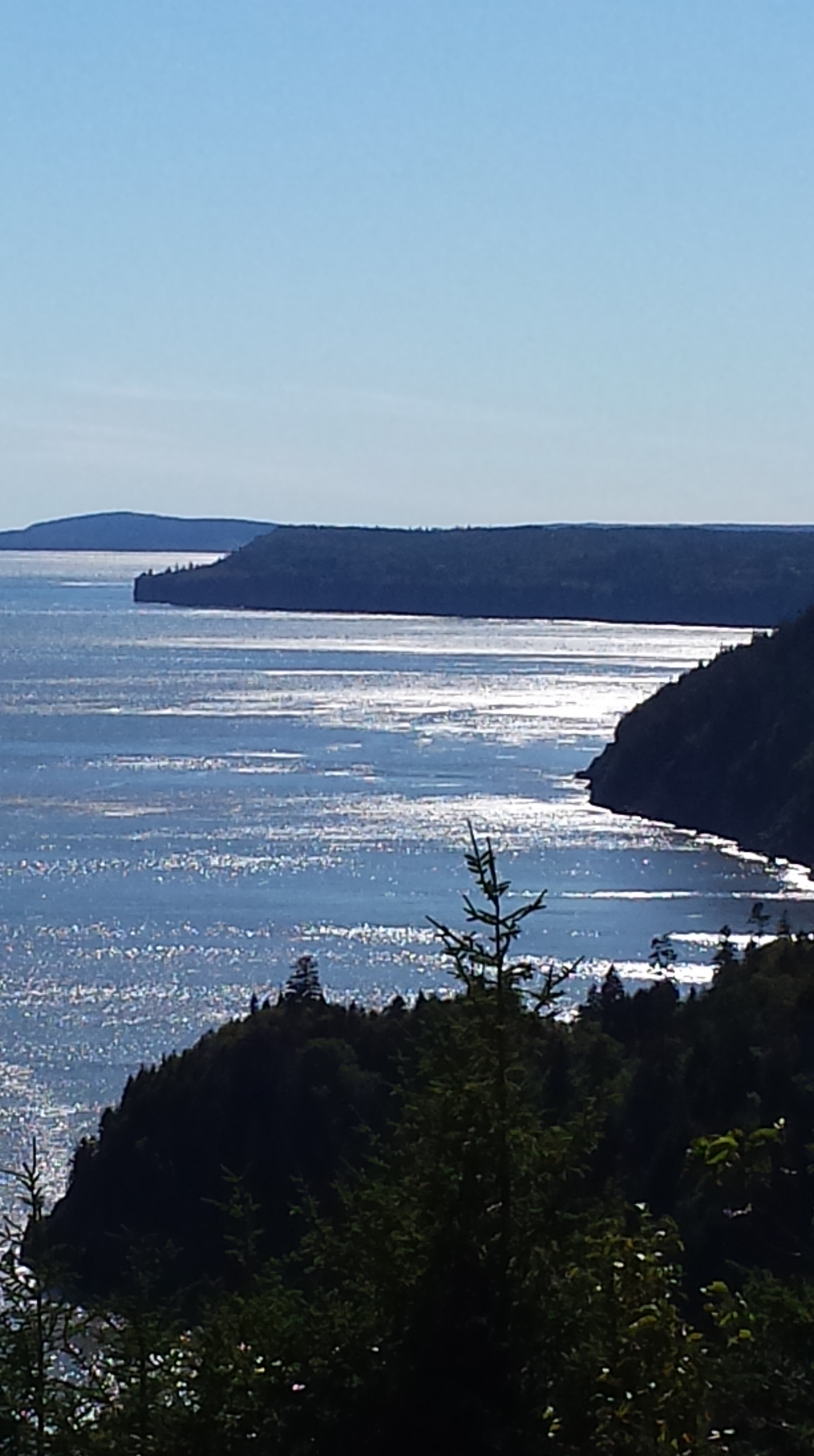
 And of course, all-hell-broke-loose (well, it took 1 billion years, but still … ) geology everywhere.
Herewith, illustrations with text provided by Parks Canada’s Fundy Park guide.
“Around Alma and Herring Cove the story is one of rivers and jungles. The grey and beige rocks forming the impressive cliffs of Owls Head are made of sandstone. This rock used to be sand and mud which a vast and ancient river lay down during the Carboniferous era (about 325 million years ago). Along this river there was a lush, tropical jungle. The rock has a fine sandy look to it and contains many black plant fossils and thin seams of coal.
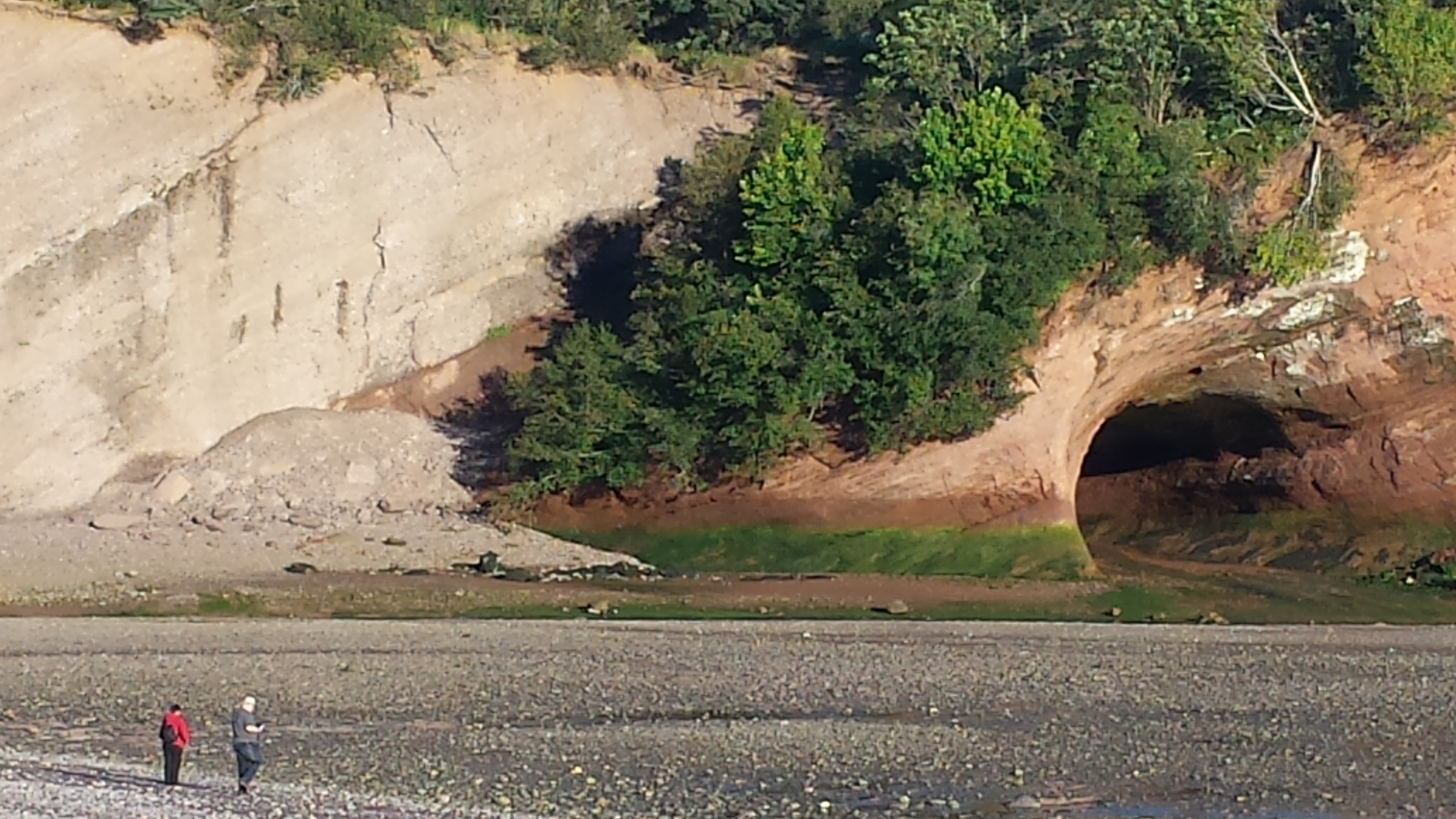
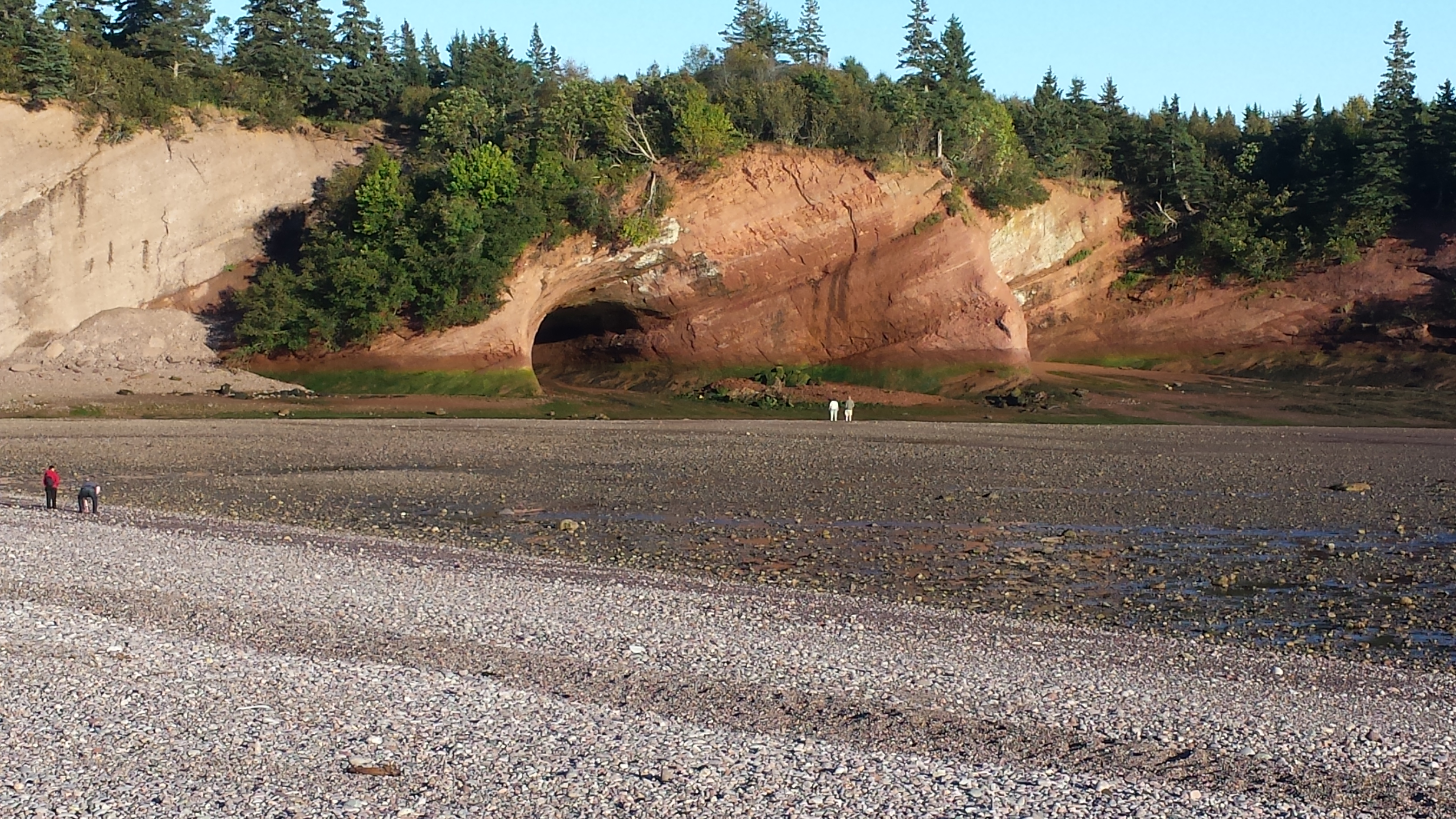
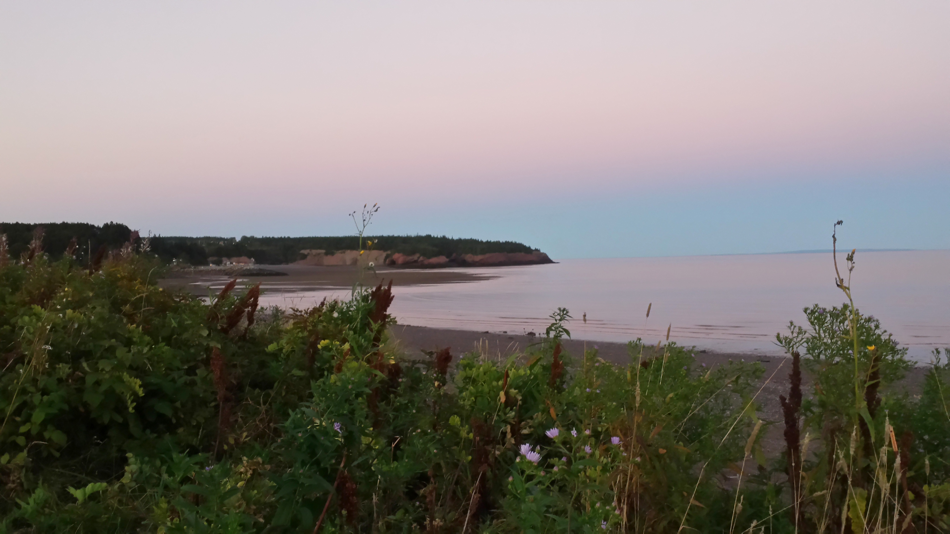
“The story is considerably older at Point Wolfe where volcanoes and the movement of the continents have formed the oldest rocks in the park. Walk down the steps to Point Wolfe beach
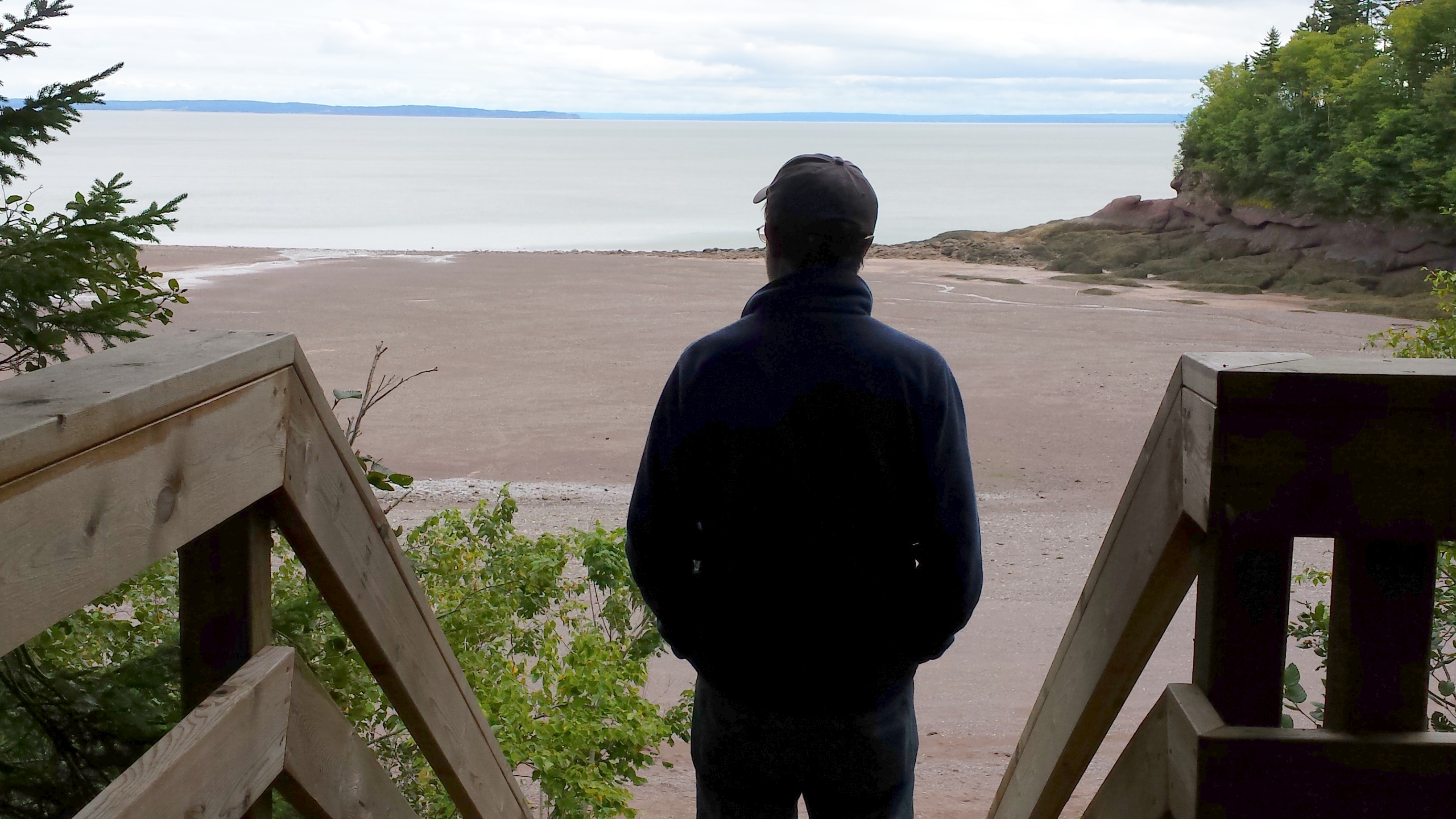 and as soon as you reach the beach you will notice some grey, green rocks forming a low cliff along the right side of this inlet. The rock has been smoothed by the tides but the story can still be deciphered.
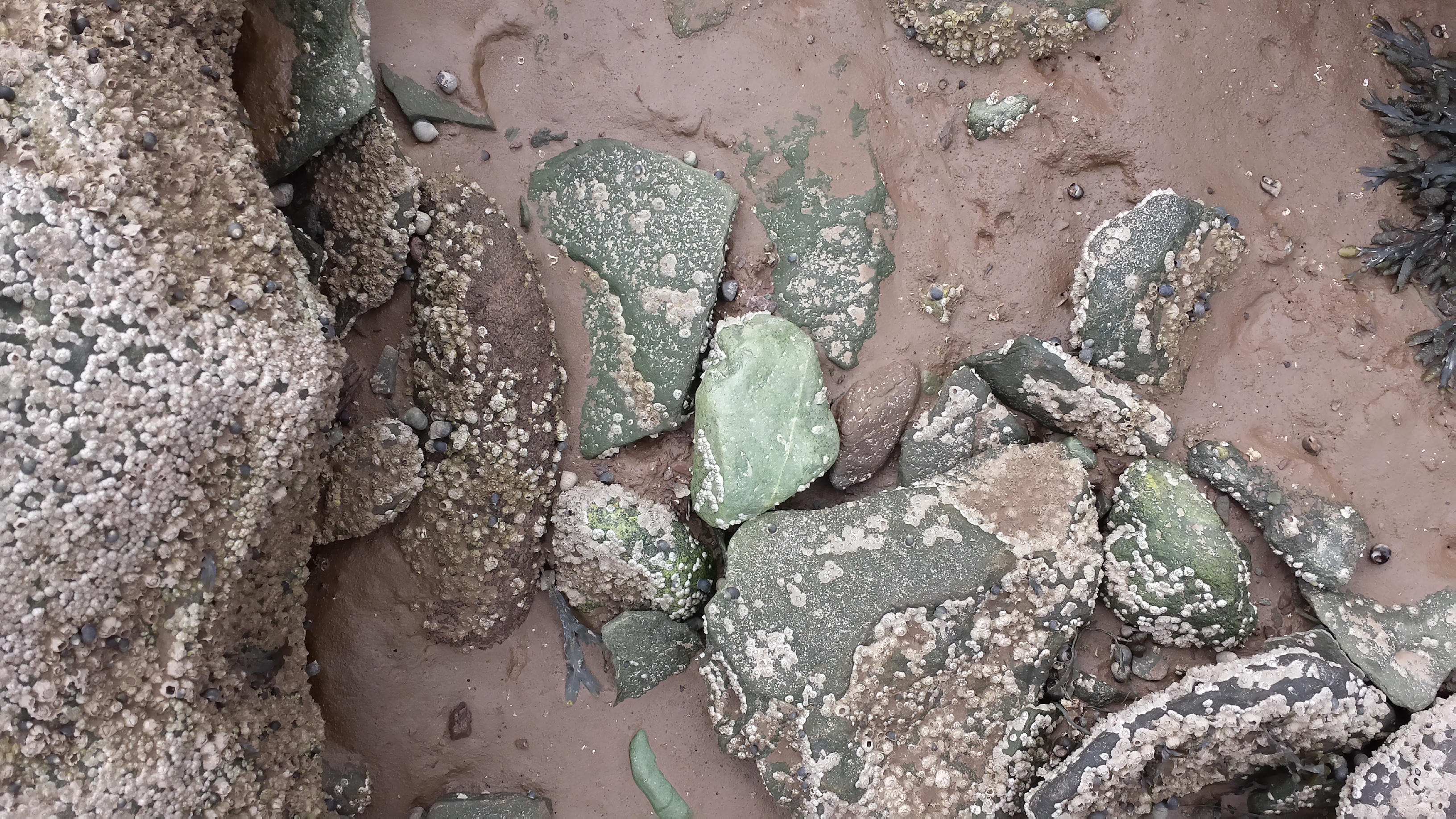 Volcanoes erupting ash and lava created off-shore islands during the Pre-Cambrian era (one billion years ago). Afterwards, during a collision between the continents of Europe and North America, these volcanic islands were bulldozed into the mainland. Look for the white quartz veins, swirling folds and criss-crossing fractures in the rock, which tell of this transformation. Rocks, which have undergone changes due to the heat and pressure of continental collisions, are called metamorphic rocks.
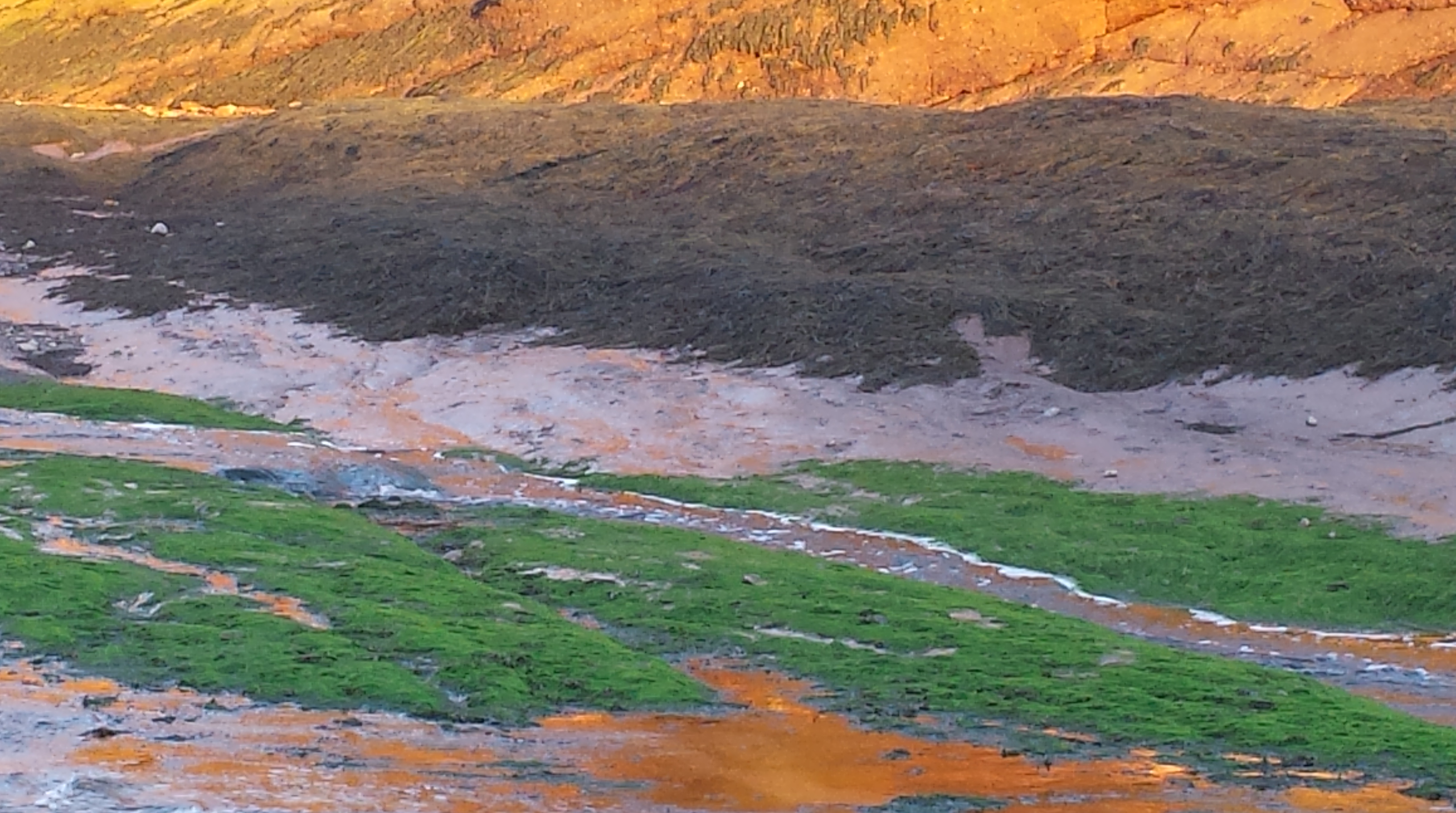
Point Wolfe is a geologist’s paradise. Opposite the grey rocks, you will notice rusty, maroon coloured cliffs towering above you. (JK note: yes, visit at low tide…..)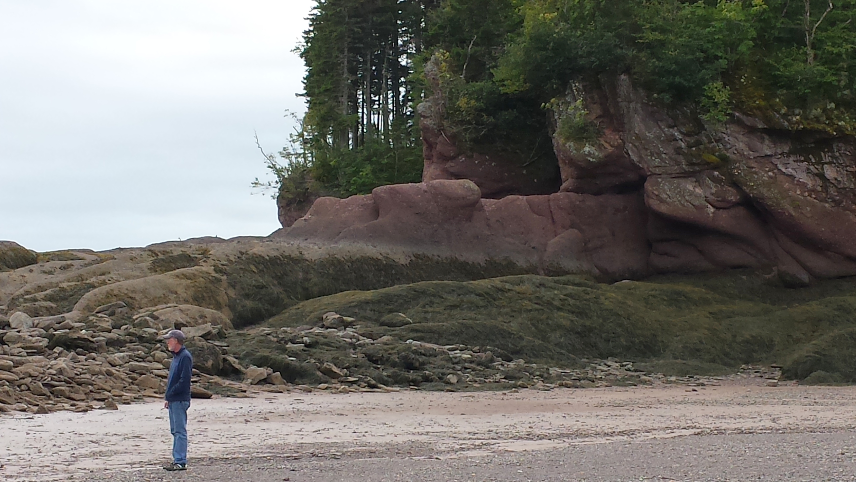 The rusty red cliffs tell a tale of crumbling mountains. These mountains were created by the ancient Pre-Cambrian volcanoes and by the collision of Europe and North America. At one time they rivaled the Rockies in massive splendour. But they were worn down, or eroded, by the passage of time. Water and gravity piled all of the debris at their feet. These boulders and pebbles were later cemented together to form a new rock which we call the Hopewell conglomerate.
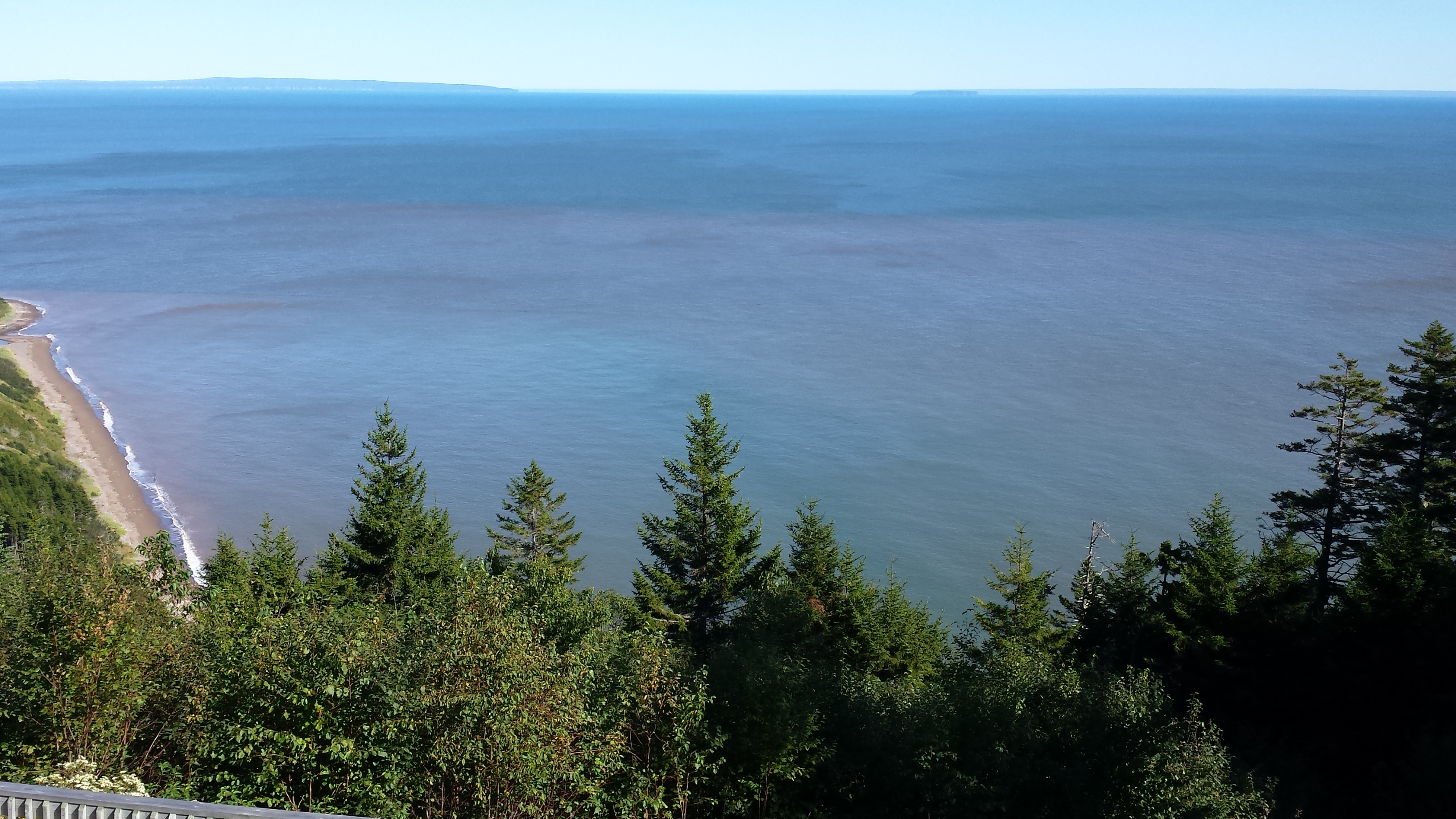
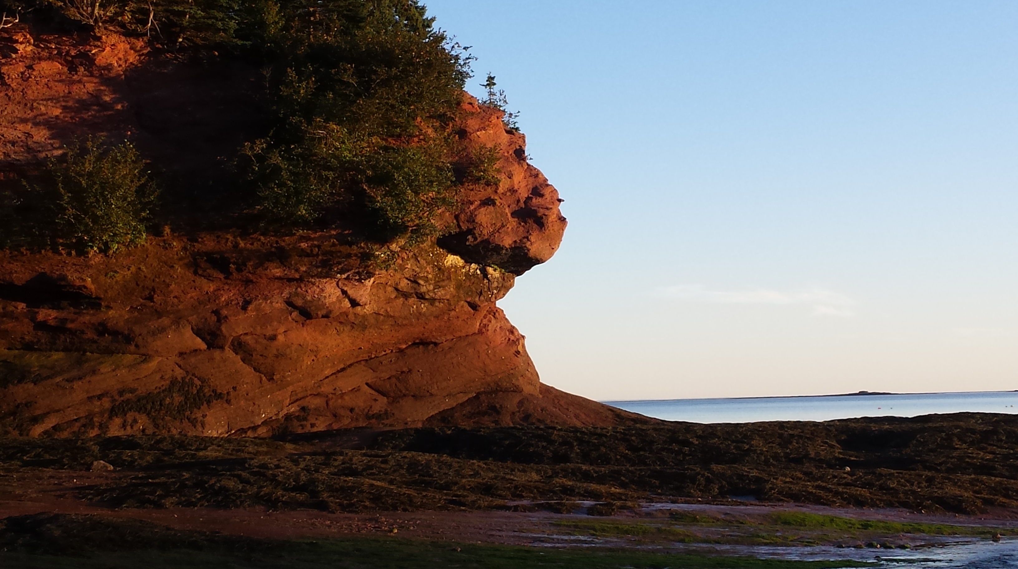
Think about that for a moment: “The collision of Europe and North America…” “rivaled the Rockies in massive splendour…” , and not only that, but the highest tides in the world. (Yep, in the photo below, that’s a kelp bed on the right …)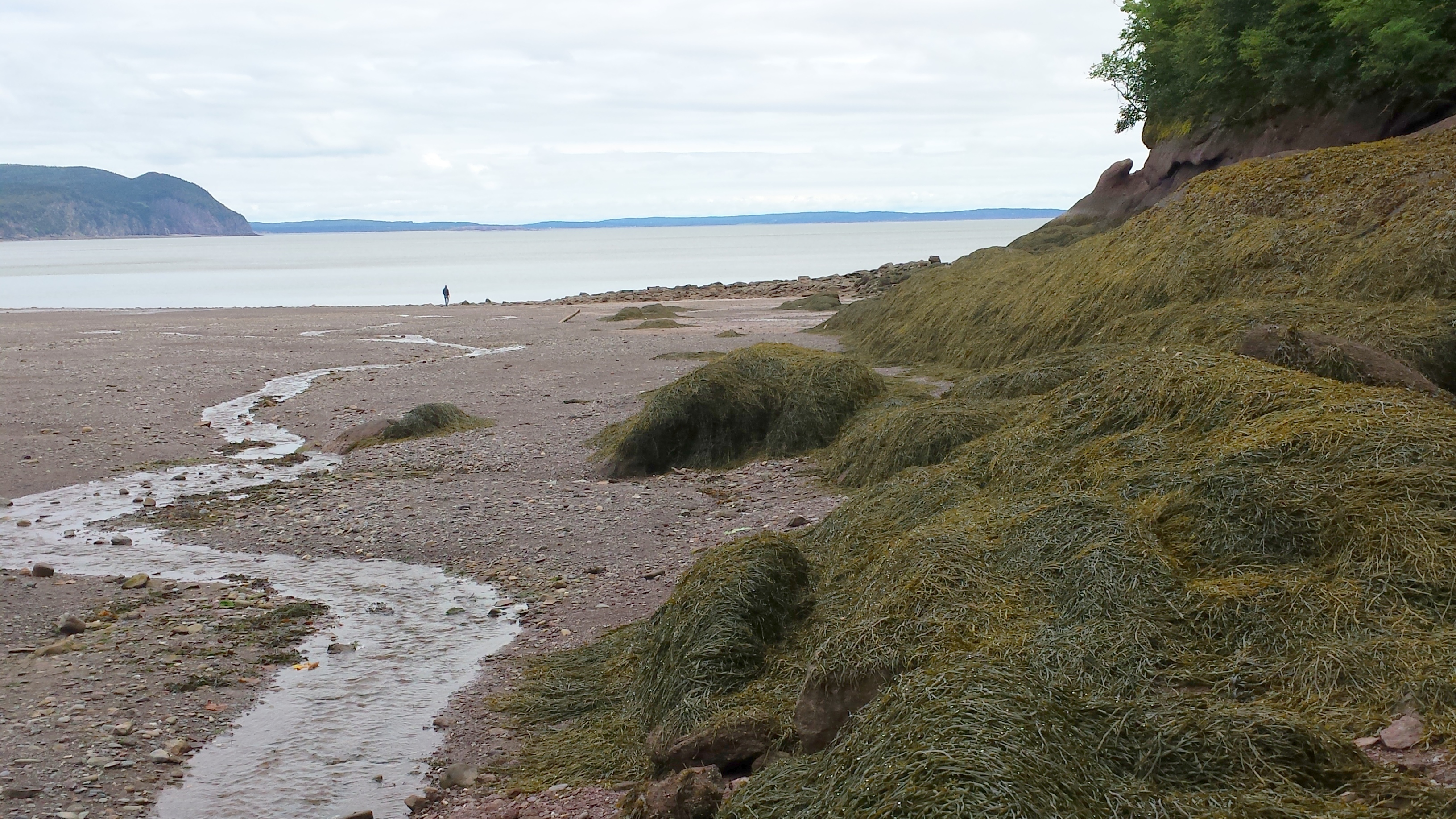 Words do fail me, and that’s saying a lot.